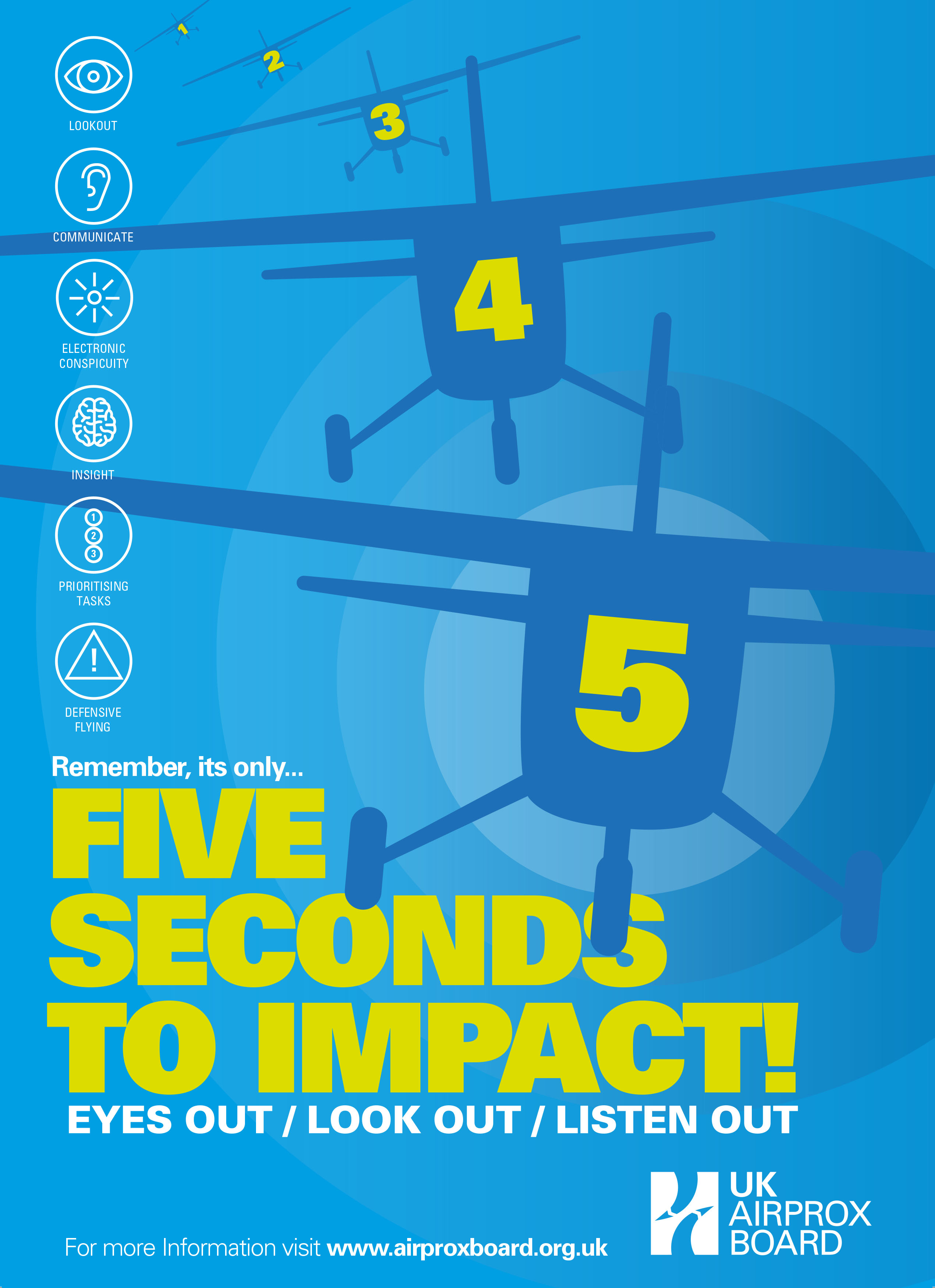
Airprox occurrences are near accidents, and the mission of the UKAB is: "To enhance Air Safety through prevention of airborne conflict and mid-air collision".
As part of this mission, a key role is to champion, contribute and communicate an understanding of Airprox causes and mid-air collision risks amongst the wider aviation community.
This section of the website focuses on providing topical information and themes relevant to recent Airprox incidents and related ongoing activities within mid-air collision (MAC) working groups as a mechanism for the feedback and follow-up of Airprox-related insights and recommendations regarding the factors that have influenced the performance of pilots and controllers.
Interactive map of UK Airprox locations
An interactive map of UK Airprox locations is available which has been provided by kind permission of Mr Chris Fox, a member of the Airprox Board. Although derived from UKAB information, the UKAB takes no responsibility for the accuracy of the information shown on the map, but are more than happy to report any errors to Chris so that he can correct or update any of the data as appropriate.
Viewers of the map should also be aware that the airspace overlay displays show current airspace boundaries - historic Airprox information will be relevant to the airspace in force at the time, which may have been different to the current boundaries. If you have any questions or queries please feel free to contact us.

